Road Intersection Simulation
In this project, we collaborated with Vialis, a leader in road infrastructure, to analyze and simulate traffic flow at two key intersections in 's-Hertogenbosch. Our task involved processing a comprehensive set of data points provided by Vialis, which included detailed coordinates of sensors and traffic lights at these intersections, along with real-time data captured by these sensors.
Our primary objective was to develop a dynamic simulation that would offer valuable insights into the functioning of these intersections. The simulation we created enabled Vialis to experiment with various traffic light sequences, assessing their effectiveness compared to existing timings. This tool was not just limited to adjusting timings; it also facilitated the simulation of entirely new intersection designs, offering Vialis a versatile proof of concept for future urban planning and infrastructure development.
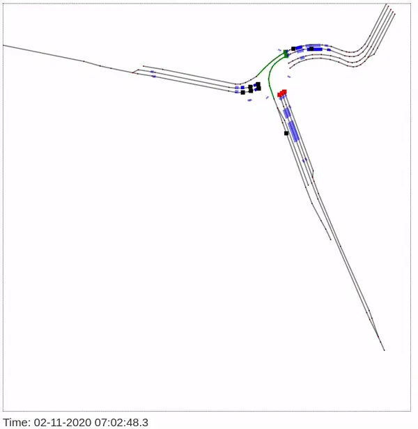
The accompanying gifs illustrate the simulation for one of the intersections. In these visualizations, sensors are represented by blue bars, roads by black lines, vehicles by black squares, and traffic lights by colored blocks. This clear and intuitive representation aids in understanding the complex dynamics at play in urban traffic management.


